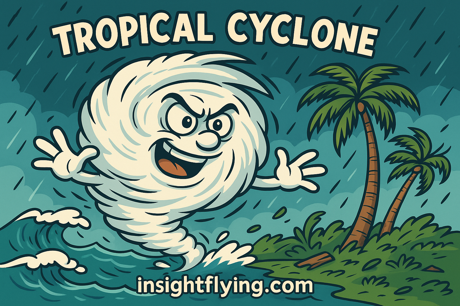
บินปาดหน้าพายุ
พายุเขตร้อน (Tropical Cyclone) ไม่ได้เกิดขึ้นโดยบังเอิญ แต่ต้องอาศัยเงื่อนไขหลายอย่างประกอบกัน ได้แก่
- พื้นที่ก่อตัวต้องอยู่ทางเหนือของเส้นศูนย์สูตร ตั้งแต่ละติจูด 5°N ขึ้นไป
- อุณหภูมิผิวน้ำทะเลต้องสูงกว่า 26.5°C และต้องอุ่นลึกลงไปถึง 500 เมตร
- ความชื้นในอากาศสูง
- บรรยากาศมีความไม่เสถียร (Atmospheric Instability)
- มีกระแสลมเฉือน (Wind Shear) ที่ช่วยกระตุ้นให้เกิดร่องความกดอากาศ
พื้นที่ใกล้บ้านเราที่เข้าข่ายสมบูรณ์แบบก็คือ ทะเลฟิลิปปินส์ นั่นเอง พายุที่ก่อตัวตรงนี้มักเคลื่อนที่ไปทางตะวันตกหรือเฉียงตะวันตกเฉียงเหนือ และเมื่อเข้าสู่ปลายฤดูฝนต้นหนาว กระแสลมชั้นบนของโลก (Jet Stream) จะทำให้พายุเบนขึ้นเหนือ
เมื่อลมพายุพัดไปถึงละติจูด 30°N ขึ้นไป เส้นทางการเคลื่อนที่จะเปลี่ยนไปทางตะวันออกเฉียงเหนือแทน ทั้งหมดนี้สัมพันธ์กับแรงหมุนของโลก ภูมิศาสตร์ และความกดอากาศโลกที่สลับซับซ้อน
ระดับความรุนแรงของพายุ
พายุถูกแบ่งระดับตามความเร็วลม (Knots) ได้แก่:
- Depression (<34 knots)
- Cyclone (34–63 knots)
- Typhoon (Pacific NW) / Hurricane (Atlantic & NE Pacific) (>64 knots)
ฝั่งอเมริกายังแบ่ง Hurricane ย่อยออกเป็น 5 ระดับ โดย Category 5 คือรุนแรงที่สุด เทียบได้กับ Super Typhoon ของฝั่งเอเชีย
นักบินกับการวางแผนเลี่ยงพายุ
สิ่งที่เกี่ยวข้องกับการบินคือ การวางเส้นทางและเชื้อเพลิง เมื่อมีรายงานพายุเกิดขึ้นระหว่างเส้นทางหรือที่สนามบินปลายทาง นักบินและฝ่ายวางแผนการบิน (Flight Operations) จะดูข้อมูลที่อัปเดตตลอดเวลา เช่น
- ตำแหน่งศูนย์กลางพายุ
- แนวทางการเคลื่อนตัว (Track)
- ความเร็วการเคลื่อนที่ของพายุ
- ความเร็วลมภายในระบบพายุ
หากพายุเคลื่อนตัวช้ากว่าเดิมหรือมีทิศทางเปลี่ยนไป การบินก็ต้องปรับเส้นทางทันที
ตัวอย่างเช่น เส้นทางบินปกติจากญี่ปุ่นลงไทย มักผ่านทางตอนใต้ของเกาะคิวชู ผ่านโอกินาวา แล้วตรงเข้าสู่ไต้หวัน แต่ถ้ามีพายุอยู่ใกล้เส้นทางนั้น เครื่องบินอาจต้องเลี่ยงไปทางตะวันตกมากขึ้น หรือถ้าพายุขวางเต็มเส้นทาง อาจต้องอ้อมผ่านเกาหลีใต้หรือจีนก่อนบินลงไทย ใช้เวลานานกว่าปกติราวหนึ่งชั่วโมง
กลยุทธ์ “ปาดหน้า – อ้อมหลัง”
ความเร็วการเคลื่อนตัวของพายุโดยทั่วไปอยู่ที่ 15–35 knots ซึ่งถือว่าช้าเมื่อเทียบกับเครื่องบินพาณิชย์ที่ทำความเร็วเฉลี่ย 450–480 knots
ดังนั้น นักบินและฝ่ายวางแผนจึงสามารถเลือกได้ว่า
- จะบิน ผ่านก่อนที่พายุจะมาถึง (ปาดหน้า)
- หรือเลือก บินอ้อมหลังพายุ หลังจากที่มันเคลื่อนตัวผ่านไปแล้ว
ข้อดีคือ ด้านหลังพายุท้องฟ้ามักใสสะอาด เพราะมวลเมฆถูกดูดเข้าไปในตัวพายุหมด
พายุขึ้นฝั่ง – ความท้าทายที่สนามบิน
ถ้าพายุเคลื่อนที่ขึ้นฝั่งและตรงกับสนามบินปลายทาง แน่นอนว่าสนามบินจะประกาศปิดทันที แต่ถ้าพายุเฉียดใกล้ ก็ต้องวางแผนอย่างรอบคอบ ทั้งเรื่องเชื้อเพลิงสำรอง และการเฝ้าฟังข้อมูล VOLMET (Meteorological Information for Aircraft In-Flight) ซึ่งกระจายเสียงตามเวลาที่กำหนดทั่วโลก
ตัวอย่างจริง – พายุ Vongfong (2014)
เดือนตุลาคม ปี 2557 พายุ Vongfong เคลื่อนตัวช้ามาก เพียง 6 knots และถูกจัดว่าเป็น Typhoon ระดับสูงสุดถึงขั้น “Super Typhoon” ผลคือมันสะสมพลังงานมหาศาลกลางทะเล แต่เมื่อขึ้นฝั่ง ความรุนแรงก็ลดลงอย่างรวดเร็ว เพราะภูมิประเทศ ภูเขา และสิ่งปลูกสร้างทำหน้าที่เสมือน “เบรก” ธรรมชาติ
สิ่งที่น่าทึ่งคือ น้ำทะเลที่ถูกหอบขึ้นไปในอากาศนับล้านลูกบาศก์เมตร เมื่อพายุสลายตัวกลับกลายเป็นน้ำฝนบริสุทธิ์ตกลงมา กลายเป็นน้ำจืดให้สิ่งมีชีวิตใช้ต่อไป
✈️ สรุป:
การเผชิญหน้ากับพายุไม่ใช่เรื่องของความกล้าเสี่ยง แต่เป็นเรื่องของ การวางแผนและตัดสินใจ เพื่อให้ทุกเที่ยวบินเดินทางได้อย่างปลอดภัยที่สุด ขณะที่พายุยังคงทำหน้าที่ของมันตามวัฏจักรของธรรมชาติ
Flying in Weather – Part 4
Cutting Across the Storm
Tropical cyclones don’t just happen by chance. They require several conditions to come together, including:
- Location north of the equator, from latitude 5°N upward
- Sea surface temperature above 26.5°C, with warm water extending down to about 500 meters
- High humidity in the atmosphere
- Atmospheric instability
- Wind shear to help trigger a low-pressure trough
One of the most ideal breeding grounds near our region is the Philippine Sea. Storms that form there usually move westward or northwestward. Toward the end of the rainy season, as winter approaches, the jet stream tends to deflect storms toward the north.
Once a storm reaches latitude 30°N or higher, its track usually bends northeast. All of this is linked to Earth’s rotation, geography, and the complex system of global pressure patterns.
Intensity Classification of Tropical Cyclones
Cyclones are categorized based on sustained wind speeds (knots):
- Depression (<34 knots)
- Cyclone (34–63 knots)
- Typhoon (NW Pacific) / Hurricane (Atlantic & NE Pacific) (>64 knots)
In the Americas, hurricanes are further divided into 5 categories, with Category 5 being the most severe—comparable to the Super Typhoon classification in Asia.
Pilots and Storm Avoidance Planning
What concerns pilots most is route planning and fuel management. When a tropical cyclone is reported near the planned route or destination airport, pilots and flight operations teams continuously monitor updates such as:
- The storm’s center position
- Forecast track
- Speed of movement
- Internal wind speeds
If the storm slows down or changes direction, the route may need immediate adjustment.
For example, a standard route from Japan to Thailand usually passes south of Kyushu, through Okinawa, then toward Taiwan. But if a storm develops nearby, the flight may need to detour further west. If the storm blocks the entire path, rerouting via Korea or mainland China may be necessary—adding up to an extra hour of flight time.
“Cutting Ahead” or “Going Behind”
Tropical cyclones usually move at 15–35 knots—quite slow compared to an airliner cruising at 450–480 knots.
That speed advantage allows pilots and flight planners to decide whether to:
- Pass ahead of the storm (cutting across), or
- Go behind it once it has moved past.
The advantage of going behind is that the sky often clears up beautifully, as the storm system has already swept most of the clouds away.
When the Storm Hits the Airport
If a storm makes landfall directly at the destination, the airport will shut down immediately. If the storm passes nearby, careful planning becomes crucial—especially fuel reserves and updated weather monitoring via VOLMET (Meteorological Information for Aircraft In-Flight), broadcast worldwide at fixed intervals.
Case Study – Typhoon Vongfong (2014)
In October 2014, Typhoon Vongfong moved at just 6 knots—extremely slow. It intensified into a Super Typhoon with immense energy while still over the ocean. Once it made landfall, however, its power rapidly diminished. Mountains and terrain acted as a natural brake, disrupting the storm’s circulation.
Interestingly, the millions of cubic meters of seawater lifted into the sky were eventually released as rainfall. After the storm dissipated, this water became fresh rain—nourishing life again.
✈️ In summary:
Dealing with a storm is not about taking risks. It’s about planning, timing, and making the right decisions—ensuring every flight remains safe, while storms continue their natural cycle across the planet.


|
|
หนังสือการบิน ทางลัดสู่ความเข้าใจที่นำไปใช้งานจริง

|
|

|
|


|
|

|
|

|
|
accident Airbus aircraft airline airmanship aviation Aviation SMS become a captain become a pilot Boeing captain Crisis Crisis Management diversion emergency engine fatigue flight safety flood go-around hydroplane Indigo interview judgement management pilot qualified pilot safety safety management Safety Management System self-knowledge SMS student pilot technology turbulence weather weather radar การจัดการความปลอดภัย การจัดการภาวะวิกฤติ การบิน การสอบสัมภาษณ์ ความปลอดภัย นักบิน ระบบบริหารความปลอดภัย สอบนักบิน
ขายดีที่สุด
|
|
|