
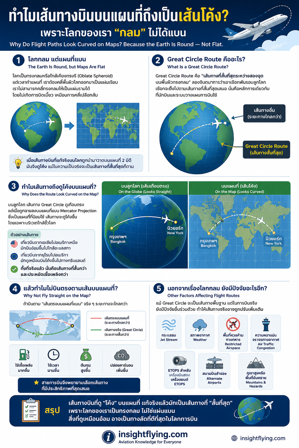
เพราะโลกของเรา “กลม” ไม่ได้แบน
เวลาเราเปิดแผนที่การบิน หรือดูเที่ยวบินในแอปติดตามเครื่องบิน หลายคนอาจสงสัยว่า
ทำไมเครื่องบินจากกรุงเทพไปนิวยอร์ก หรือโตเกียวไปลอนดอน ถึงบินเป็น “เส้นโค้ง” แทนที่จะบินตรงเป็นเส้นตรงบนแผนที่
ความจริงแล้ว เครื่องบินกำลังบิน “เส้นทางที่สั้นที่สุด” อยู่ครับ
แต่เพราะโลกของเราเป็นทรงกลม เส้นทางที่สั้นที่สุดบนพื้นผิวโลก จึงไม่ได้ดูเป็นเส้นตรงเมื่อถูกวาดลงบนแผนที่แบบแบน
โลกกลม แต่แผนที่แบน
โลกเป็นทรงกลมหรือใกล้เคียงทรงรี (Oblate Spheroid)
แต่เวลาทำแผนที่ เราต้องคลี่พื้นผิวโลกออกมาเป็นแผ่นเรียบ
ปัญหาคือ…
เราไม่สามารถคลี่ทรงกลมให้เป็นแผ่นราบได้โดยไม่เกิดการบิดเบี้ยว
เหมือนการพยายามคลี่เปลือกส้มให้แบนสนิท
ดังนั้น เมื่อเส้นทางบินที่แท้จริงบนโลกถูกนำมาวาดบนแผนที่ 2 มิติ
มันจึงดูโค้ง แม้ในความเป็นจริงจะเป็นเส้นทางที่สั้นและมีประสิทธิภาพที่สุด
Great Circle Route คืออะไร?
เส้นทางบินระยะไกลส่วนใหญ่ใช้สิ่งที่เรียกว่า
“Great Circle Route”
ซึ่งหมายถึง
“เส้นทางที่สั้นที่สุดระหว่างสองจุดบนพื้นผิวทรงกลม”
ลองจินตนาการว่าเอาเชือกพันรอบลูกโลก
เชือกจะตึงไปตามเส้นทางที่สั้นที่สุดเสมอ
นั่นคือหลักการเดียวกับที่นักบินและระบบวางแผนการบินใช้
ทำไมเส้นทางถึงดูโค้งบนแผนที่?
บนลูกโลก เส้นทาง Great Circle ดูเกือบตรง
แต่เมื่อถูกฉายลงบนแผนที่แบบ Mercator Projection ซึ่งเป็นแผนที่ที่นิยมใช้
เส้นทางจะดูโค้งขึ้น โดยเฉพาะบริเวณใกล้ขั้วโลก
ตัวอย่างเช่น
- เที่ยวบินจากเอเชียไปอเมริกาเหนือ
มักบินอ้อมขึ้นไปใกล้อะแลสกา - เที่ยวบินจากยุโรปไปอเมริกา
มักดูเหมือนบินโค้งขึ้นไปทางกรีนแลนด์
ทั้งที่จริงแล้ว นั่นคือเส้นทางที่สั้นกว่าและประหยัดเชื้อเพลิงกว่า
แล้วทำไมไม่บินตรงตามเส้นบนแผนที่?
ถ้าบินตาม “เส้นตรงบนแผนที่แบน” จริง ๆ
ระยะทางจะไกลกว่า
ซึ่งหมายถึง
- ใช้เชื้อเพลิงมากขึ้น
- ใช้เวลานานขึ้น
- ต้นทุนสูงขึ้น
- ปล่อยคาร์บอนเพิ่มขึ้น
สายการบินจึงพยายามเลือกเส้นทางที่มีประสิทธิภาพที่สุดเสมอ
นอกจากเรื่องโลกกลม ยังมีปัจจัยอะไรอีก?
แม้ Great Circle จะเป็นเส้นทางพื้นฐาน
แต่ในการบินจริง ยังมีปัจจัยอื่นร่วมด้วย เช่น
- กระแสลม Jet Stream
- สภาพอากาศ
- พื้นที่หวงห้ามทางทหาร
- ความหนาแน่นจราจรทางอากาศ
- ETOPS สำหรับเครื่องบินสองเครื่องยนต์
- สนามบินสำรอง
- ภูเขาสูงหรือพื้นที่อันตราย
ดังนั้นเส้นทางจริงอาจถูกปรับเพิ่มเติมเพื่อความปลอดภัยและประสิทธิภาพ
สรุป
เส้นทางบินที่ดู “โค้ง” บนแผนที่
แท้จริงแล้วมักเป็นเส้นทางที่ “สั้นที่สุด”
เพราะโลกของเราเป็นทรงกลม
ไม่ใช่แผ่นแบน
สิ่งที่ดูเหมือนอ้อม
อาจเป็นทางลัดที่ดีที่สุดในโลกการบิน
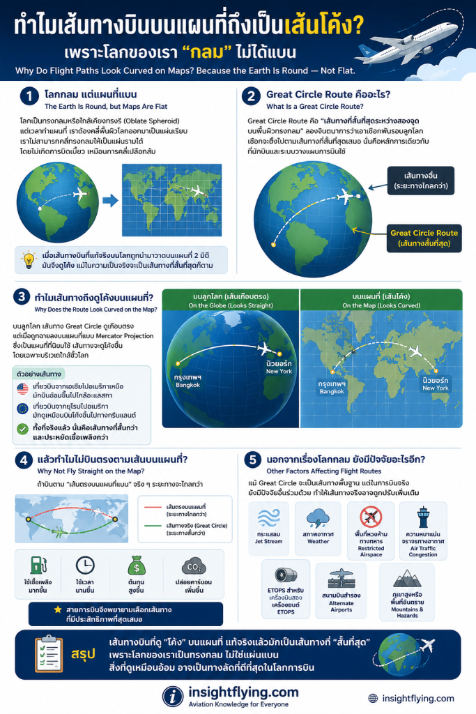
Why Do Flight Paths Look Curved on Maps?
Because the Earth Is Round — Not Flat
When people look at flight tracking apps or aviation maps, they often wonder:
Why do airplanes flying from Bangkok to New York or Tokyo to London follow a curved path instead of a straight line?
The answer is simple:
Aircraft are usually flying the shortest possible route.
However, because the Earth is spherical, the shortest path on its surface does not always appear straight on a flat map.
The Earth Is Round, but Maps Are Flat
Earth is approximately a sphere (more precisely an oblate spheroid).
But maps are flat representations of that curved surface.
The problem is:
You cannot flatten a sphere without distortion.
It is similar to trying to flatten an orange peel onto a table.
As a result, flight paths that are actually efficient and short on the globe may appear curved when drawn on a 2D map.
What Is a Great Circle Route?
Long-haul flights usually follow what is called a:
“Great Circle Route”
This is the shortest distance between two points on the surface of a sphere.
Imagine stretching a string tightly around a globe between two cities.
The string naturally follows the shortest route.
That is essentially how flight planning systems work.
Why Does the Route Look Curved?
On a globe, Great Circle routes appear nearly straight.
But when projected onto common flat maps such as the Mercator projection, they appear curved — especially near the poles.
For example:
- Flights between Asia and North America often route near Alaska.
- Flights between Europe and North America may appear to curve toward Greenland.
Although they look longer on the map, these routes are actually shorter and more fuel efficient.
Why Not Fly Straight on the Map?
If aircraft followed a straight line on a flat map, the actual distance over Earth’s surface would often be longer.
That means:
- More fuel burn
- Longer flight times
- Higher operating costs
- More carbon emissions
Airlines therefore choose the most efficient route whenever possible.
Other Factors Affecting Flight Routes
Even though Great Circle routing is important, real-world flight planning also considers:
- Jet streams
- Weather systems
- Restricted military airspace
- Air traffic congestion
- ETOPS requirements
- Alternate airports
- Mountainous terrain and hazards
So actual flight paths may be adjusted for safety and operational efficiency.
Conclusion
Flight paths that appear “curved” on maps are often actually the shortest routes available.
Because the Earth is round — not flat.
What looks like a detour on a map may actually be the smartest shortcut in aviation.